Maps of British Columbia: A Quick Guide
Discover BC is reader-supported. When you buy through links on our site, we may earn a commission at no extra cost to you. Learn More
British Columbia is divided into several distinct regions, each with its unique character and attractions. Here’s a full map of British Columbia.
Plan Your BC trip like a pro with these tools:
✈️Find the best flight deals with Trip
🚘Rent a car for your Canada road trip with QEEQ
🥾Book your tickets for activities in advance with Tiqets
🛌Find the best hotel deals on Trip
🎴Join the best tours in BC with Tiqets
🧳Travel safely and get reliable travel insurance from EKTA
Map of British Columbia
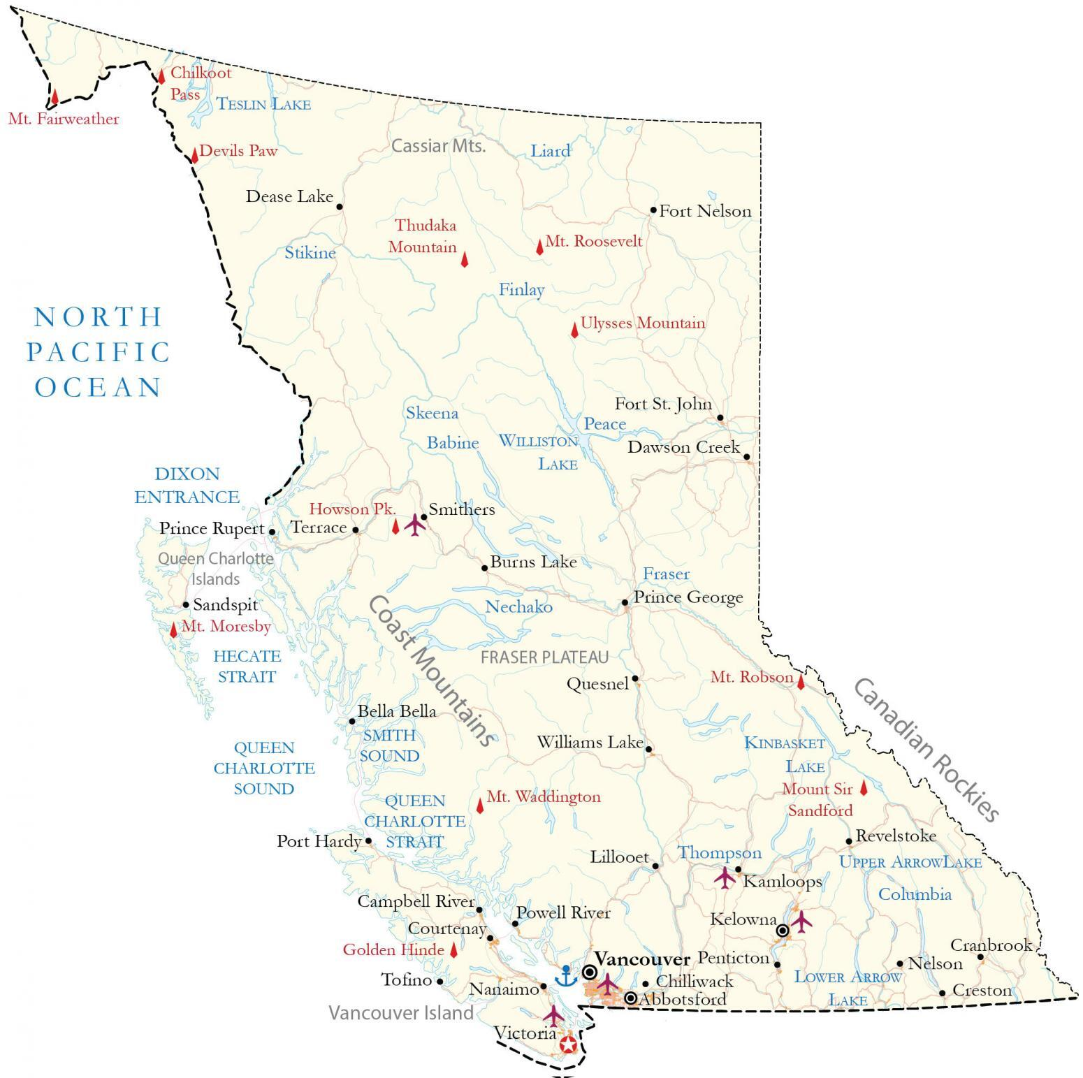
(source: gisgeography)
A reference map of British Columbia in Canada that features major cities, roads, highways, rivers, lakes, and mountain peaks. An elevation and satellite map of British Columbia highlights the Rocky Mountains and Vancouver Island.
About the Map
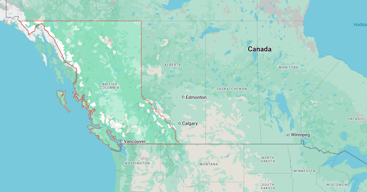
British Columbia is Canada’s westernmost province, located along the Pacific coast. Known for its natural beauty, as highlighted by its license plate motto, “Beautiful British Columbia,” the province is surrounded by verdant parks, pristine wilderness, and the majestic Canadian Rockies.
To the east, it borders Alberta, while to the north, it shares boundaries with the Yukon and Northwest Territories. Additionally, British Columbia is adjacent to the U.S. states of Washington, Idaho, and Montana to the south.
Although Victoria serves as the provincial capital, Vancouver is the largest city in British Columbia, with a population exceeding 2 million people. It ranks as the third-largest metropolitan area in Canada. Other significant cities include Victoria, Kelowna, and Abbotsford, which are the next largest urban centers.
British Columbia Satelite Map
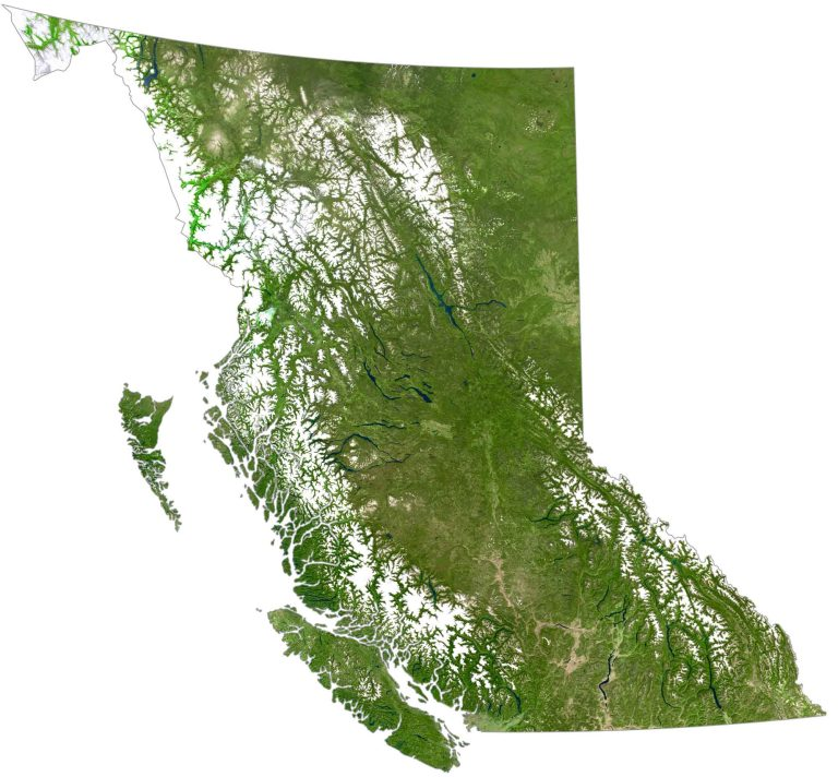
(source: gisgeography)
British Columbia covers an area of 944,735 square kilometers (364,764 square miles). While it is smaller than Ontario, it is larger than Alberta. Overall, it ranks as the third-largest province in Canada, excluding the territories.
British Columbia Elevation Map
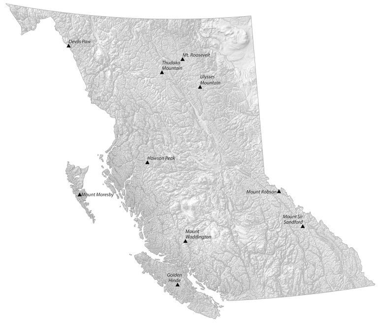
(source: gisgeography)
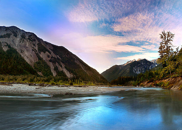
Mountains make up most of British Columbia, with about 75% of the province being mountainous, reaching elevations of over 1,000 meters (3,300 feet) above sea level.
The Rocky Mountains, for instance, run along the eastern border with Alberta and include notable peaks such as Mount Sir Sandford and Mount Robson.
BC’s Regions on the Map
Now let us you through the main areas you’ll find on a BC map.
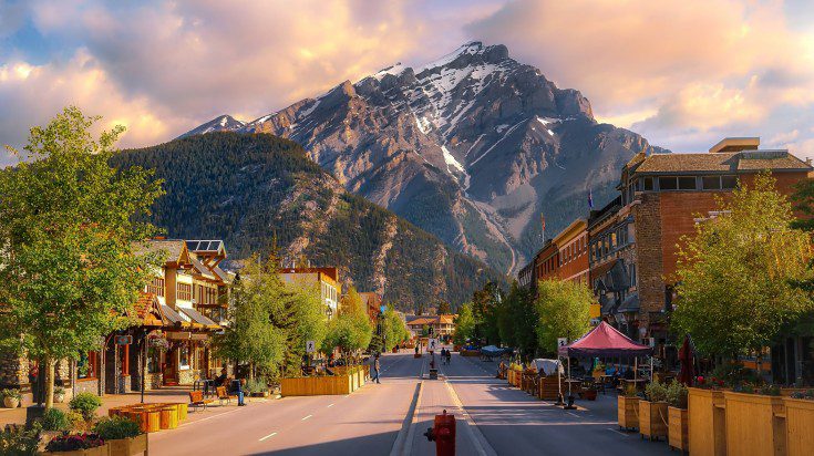
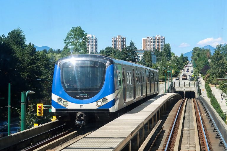
Vancouver and the Lower Mainland
Think of this as BC’s busy corner! Located in the southwest, this region includes Vancouver, Surrey, Burnaby, and Richmond. It’s where most people live and work. The area is bordered by the Coast Mountains to the north, the Pacific Ocean to the west, and the US border to the south.
Major Cities and Municipalities:
Vancouver – The largest city and economic hub
Surrey – Second largest city, known for rapid growth
Burnaby – Third largest city, home to Simon Fraser University
Richmond – Known for Asian cuisine and Vancouver International Airport
Coquitlam – Growing community with extensive park systems
Delta – Important agricultural and port area
North Vancouver – Both city and district, gateway to mountains
West Vancouver – Upscale residential area with scenic views
New Westminster – BC’s former capital, historic downtown
Port Coquitlam – Family-oriented community
Langley – Mix of urban and rural areas
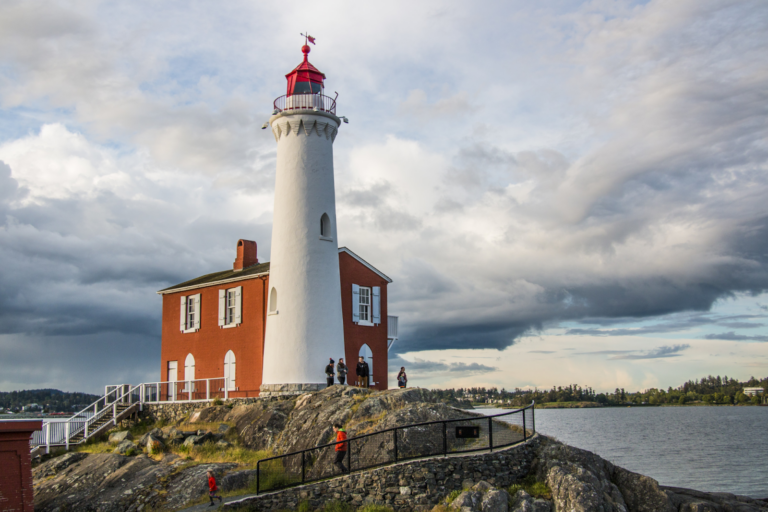
Vancouver Island
Off the mainland’s west coast, Vancouver Island is home to Victoria (BC’s capital city), plus communities like Nanaimo and Tofino. The island is about 460 kilometers long and features mountains, rainforests, and beautiful beaches.
Major Cities and Municipalities:
Victoria – Provincial capital, known for British charm
Nanaimo – Second largest island city, major ferry hub
Campbell River – Salmon fishing capital
Comox Valley (Courtenay, Comox) – Recreation destination
Port Alberni – Gateway to the Pacific Rim
Duncan – City of Totems
Parksville – Popular beach destination
Tofino – Surfing and storm-watching destination
Ucluelet – Fishing and eco-tourism hub
The Okanagan Valley
In BC’s southern interior, you’ll find the Okanagan Valley. Major cities here include Kelowna, Vernon, and Penticton. This region is famous for its lakes, vineyards, and sunny weather.
Major Cities and Municipalities:
Kelowna – Largest city in the interior
Vernon – Northern Okanagan hub
Penticton – Between two lakes
West Kelowna – Growing wine region
Lake Country – Four distinct communities
Summerland – Fruit growing and wineries
Oliver – The wine capital of Canada
Osoyoos – Canada’s only desert
The Kootenays
The southeastern part of BC is known as the Kootenays. It’s a mountainous region with cities like Nelson and Cranbrook. The area is split into the West Kootenays and East Kootenays, divided by the Purcell Mountains.
Major Cities and Municipalities:
Cranbrook – Largest Kootenay city
Nelson – Known for heritage buildings and arts
Trail – Industrial heritage
Castlegar – Airport hub and college town
Kimberley – Former mining town, now tourist destination
Fernie – Popular ski resort town
Revelstoke – Mountain recreation hub
Northern BC
This huge region covers more than half of the province, stretching from Prince George up to the Yukon border. Major centers include Prince Rupert on the coast and Fort St. John in the northeast.
Major Cities and Municipalities:
Prince George – Northern capital
Prince Rupert – Major port city
Terrace – Service center for northwest
Fort St. John – Energy sector hub
Dawson Creek – Mile 0 of Alaska Highway
Kitimat – Industrial port
Smithers – Mountain town and regional center
The Cariboo-Chilcotin
Located in the central interior, this region includes cities like Williams Lake and Quesnel. It’s known for its ranches, forests, and historic gold rush sites.
Major Cities and Municipalities:
Williams Lake – Ranching and Rodeo Center
Quesnel – Forest industry center
100 Mile House – South Cariboo hub
Clinton – Historic gold rush town
Wells – Historic gold mining town
The Sea-to-Sky Corridor
This is the scenic region connecting Vancouver to Whistler, following Highway 99 through Squamish. It’s named for its dramatic rise from the ocean to the mountains.
Major Communities:
Squamish – Outdoor recreation capital
Whistler – World-famous resort town
Pemberton – Agricultural valley
Lions Bay – Scenic village
Britannia Beach – Historic mining community
In Conclusion
Understanding these regions helps you plan your BC travels and appreciate just how diverse our province is. Each area offers something different, from coastal rainforests to interior deserts, and mountain peaks to ocean shores.
Plan Your BC trip like a pro with these tools:
✈️Find the best flight deals with Trip
🚘Rent a car for your Canada road trip with QEEQ
🥾Book your tickets for activities in advance with Tiqets
🛌Find the best hotel deals on Trip
🎴Join the best tours in BC with Tiqets
🧳Travel safely and get reliable travel insurance from EKTA